

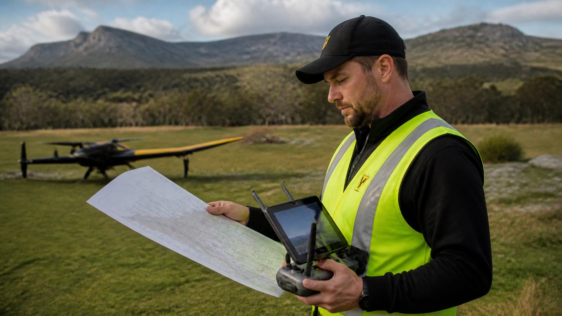
Mastering Visual Terminal Charts (VTC) is crucial for any professional drone pilot. While apps provide quick data, VTC charts offer detailed airspace boundaries and topographical information that apps often miss. Understanding these maps is a core requirement for obtaining a drone licence in Australia and ensures total CASA compliance.
The Foundation of a Professional Drone Licence in Australia
Getting a drone licence in Australia involves more than just learning to fly. It requires a deep understanding of the sky above you. Many new pilots rely solely on mobile applications to check airspace. However, digital tools can fail due to battery loss or poor internet signal. This is why mastering the Visual Terminal Chart (VTC) remains a "superpower" for elite operators.
At Ace Aviation, we have trained over 4,000 students. We see many beginners struggle with airspace complexity in major hubs. Whether you are flying in Brisbane, Sydney, Melbourne, or Perth, the VTC is your master document. It provides a high-resolution view of the controlled zones and restricted areas that govern our skies.

Why Paper and Digital Charts Must Work Together
Digital apps like OpenSky are fantastic for quick checks. They use GPS to show your current location relative to flight zones. Nevertheless, they lack the "big picture" context found on a 1:250,000 scale VTC. For instance, a VTC shows VFR (Visual Flight Rules) approach points. These are locations where manned aircraft are likely to congregate.
By reading a VTC, you can predict where a helicopter or light plane might appear. This situational awareness is the difference between a safe flight and a dangerous near-miss. Furthermore, CASA expects all Remote Pilot Licence (RePL) holders to interpret these charts during their theory exams and practical assessments.
Understanding the VTC: A Deep Dive into Airspace
Airspace in Australia is complex and layered. To the untrained eye, a VTC looks like a mess of blue, magenta, and green lines. However, once you learn the "language" of the chart, it becomes a clear roadmap.
The Role of Controlled Airspace (CTA) and Control Zones (CTR)
Around busy cities like Sydney and Melbourne, airspace is strictly controlled. Control Zones (CTR) usually extend from the surface (SFC) up to a certain altitude. On a VTC, these are often marked with dashed blue lines. If you are operating inside a CTR, you generally need specific approvals from CASA or Airservices Australia.
Above and around these zones are "steps" of Controlled Area (CTA). These steps look like a staircase in the sky. As you move further away from an airport, the floor of the controlled airspace rises. For example, the floor might be at 1,500 feet near Brisbane airport but rise to 4,500 feet further out. A drone pilot can often fly safely underneath these steps in Class G (uncontrolled) airspace.
Topographical Data and Obstacles
VTCs are not just about airspace. They also include vital topographical data. This includes:
- Major landmarks and towns.
- Power lines and towers.
- Terrain elevations and contour lines.
- Significant bodies of water.
This information helps you plan your flight path and identify potential hazards. If your drone loses its link, knowing the local terrain helps you predict where it might land or crash. This level of detail is rarely available in simplified flight apps.
Key Facts Table: Decoding VTC Symbols
Understanding the symbols on a chart is the first step toward mastery. Use this table as a quick reference guide during your drone licence Australia training.
| Symbol / Color | Meaning | Operational Impact |
|---|---|---|
| Solid Blue Line | Class A, C, or D Airspace Boundary | You must check the lower limit (LL) before flying. |
| Dashed Blue Line | Control Zone (CTR) | Airspace starts at the surface; high restrictions apply. |
| Hatched Magenta | Restricted Area (R) | You cannot fly here without specific permission. |
| Hatched Gold/Yellow | Danger Area (D) | Hazardous activities occur here; fly with extreme caution. |
| Solid Green Line | FIA Boundary | Defines the radio frequency zone for the area. |
| Large Blue Numbers | Max Elevation Figure (MEF) | The highest point in that grid square in feet. |
| Blue Aerodrome | Controlled Airport | Likely to have high volumes of manned traffic. |
| Magenta Aerodrome | Uncontrolled Airport | Frequent light aircraft and helicopter activity. |
Step-by-Step Process: How to Use a VTC for Flight Planning
Planning is the most important part of any commercial mission. Follow this professional process used by Ace Aviation graduates across Perth, Sydney, and beyond.
Step 1: Identify Your Location
Locate your exact launch site on the VTC. Use landmarks like roads, rivers, or railway lines to be precise. Cross-reference this with your digital map to ensure accuracy.
Step 2: Check the Airspace Class
Look at the colored lines surrounding your site. Is there a solid blue line? If so, look for the label nearby. It will say something like "C LL 1500". This means Class C airspace starts at 1,500 feet. Since you usually fly at 400 feet (120 meters), you are safe to fly underneath this step.
Step 3: Scan for PRD Areas
PRD stands for Prohibited, Restricted, and Danger areas. These are marked with hatched patterns. Check the ID number (e.g., R538) and look it up in the ERSA (En Route Supplement Australia) or on the CASA website. This tells you if the area is active and who to contact for permission.
Step 4: Locate Nearby Aerodromes
Identify any airports or helipads within 5.5km (3 nautical miles). Note their radio frequencies. If you have an Aeronautical Radio Operator Certificate (AROC), you can monitor these frequencies to hear where other pilots are.
Step 5: Evaluate the Terrain
Check the Maximum Elevation Figure (MEF). Ensure your flight altitude accounts for the highest obstacles in the area. This is particularly important in hilly regions or dense urban environments like Melbourne.

Real-World Examples: Navigating Major Hubs
Flying in Sydney
Sydney's airspace is some of the busiest in the world. Between the major international airport and several smaller regional fields like Bankstown, the VTC is crowded. A drone pilot in Sydney must be very careful with the "Class C" steps. Many areas have very low ceilings. Mastering the VTC allows you to identify exactly where the "safe zones" are for your commercial work.
Operations in Perth
Perth often features large restricted areas due to military operations. These magenta zones can change status quickly. By checking the VTC and then verifying the status through official NOTAMs (Notices to Airmen), you ensure you don't breach sensitive airspace. This is a key skill taught in our RePL courses.
Common Mistakes When Reading VTCs
Even experienced pilots can make errors. Avoid these common pitfalls to stay safe and legal.
- Confusing VTC and VNC: A VNC (Visual Navigation Chart) has a much larger scale (1:500,000). It is great for cross-country flights but lacks the detail needed for city operations. Always use the VTC when flying near major airports.
- Ignoring the Legend: Symbols can change between different chart editions. Always refer to the legend on the side of your specific chart.
- Mixing up Feet and Meters: Aviation uses feet for altitude. Most drones show meters on the screen. Always double-check your conversions. 120 meters is roughly 400 feet.
- Forgetting Date Currency: Airspace changes frequently. Ensure your VTC is the latest version. Using an expired chart can lead to illegal airspace breaches.
- Relying on "Clean" Apps: Some apps filter out certain types of airspace to look simpler. The VTC shows everything. If it's on the VTC, it exists in the real world.
CASA Considerations for Drone Pilots
CASA (Civil Aviation Safety Authority) is the governing body for all Australian skies. They mandate that commercial drone operators hold a valid drone licence in Australia. This is officially known as a Remote Pilot Licence (RePL).
The Importance of ReOC.1421
Ace Aviation operates under CASA.ReOC.1421. This means our training meets the highest regulatory standards. When you train with us, you are learning from a provider that CASA trusts. We focus heavily on chart work because it is a fundamental pillar of aviation safety.
Altitude+ and Career Support
Completing your course is just the beginning. Through our Altitude+ program, we offer ongoing support for our graduates. This includes access to our DroneWork job board, helping you turn your new skills into a career. Whether you are in Brisbane or Melbourne, we help you find professional opportunities.
Comprehensive FAQ: Mastering VTC Charts
1. What is a VTC chart?
A Visual Terminal Chart (VTC) is a 1:250,000 scale map showing airspace, terrain, and obstacles around major Australian aerodromes.
2. Why do I need a VTC if I have a drone app?
Apps can fail or lack detail. A VTC provides the "master" view of airspace and is required for professional situational awareness.
3. Where can I buy VTC charts?
You can purchase them from authorized aviation retailers or download digital versions from Airservices Australia.
4. How often are VTC charts updated?
They are generally updated every six months. Always ensure you are using the most current version.
5. Is reading a VTC part of the RePL exam?
Yes. You must be able to identify airspace classes and limits to pass your drone licence Australia theory test.
6. What does "LL 2500" mean on a chart?
It stands for "Lower Limit 2,500 feet". This is the altitude where controlled airspace begins.
7. Can I fly in a Restricted Area (Magenta hatched)?
Only if you have specific permission from the "Controlling Authority" listed for that area.
8. What is the difference between Class C and Class G airspace?
Class C is controlled; you need permission to enter. Class G is uncontrolled; drones can fly here under standard operating conditions.
9. Why are some aerodromes blue and others magenta?
Blue aerodromes are controlled (have a tower). Magenta aerodromes are uncontrolled.
10. What is a Maximum Elevation Figure (MEF)?
It is the height of the highest obstacle or terrain in a specific grid square, rounded up for safety.
11. Does Ace Aviation provide charts during the course?
Yes, we provide all necessary training materials, including charts, for our students in Sydney, Melbourne, Perth, and Brisbane.
12. Can I use a digital VTC on my tablet?
Yes, as long as it is a current version and you have a reliable way to view it during flight planning.
13. What is the "purple shading" on some charts?
This indicates areas where the terrain is very close (within 500 feet) to the floor of controlled airspace.
14. Do I need an AROC to read a VTC?
No, but an AROC helps you understand the radio frequencies listed on the VTC.
15. How do I know which VTC to use?
Use the VTC named after the nearest major city, such as the "Sydney VTC" or "Melbourne VTC".
16. What is the scale of a VTC?
The scale is 1:250,000, which means 1cm on the map equals 2.5km on the ground.
17. Can I fly in a Danger Area?
Yes, but it is not recommended without checking what the danger is (e.g., rifle range or flight training).
18. What do the small black dots with numbers represent?
These are spot elevations, showing the exact height of a specific peak or point.
19. How does learning VTC charts help my career?
It marks you as a professional pilot who understands aviation law and safety, making you more employable.
20. Where can I find more training on this?
You can join one of our upcoming drone courses in your local city.
Summary: Elevate Your Piloting Skills
Mastering VTC charts is a non-negotiable skill for any serious pilot seeking a drone licence in Australia. While modern apps are helpful, they are not a substitute for traditional navigation skills. By understanding the layers of the sky, you can operate safely in complex environments like Sydney, Perth, and Melbourne.
Ace Aviation is dedicated to providing the highest quality drone training. With our global footprint and CASA-approved curriculum, we ensure our students are prepared for the real world. Don't just fly: navigate with confidence. Visit our courses page to start your journey today.
Meta Description: Master VTC charts to secure your drone licence in Australia. Learn why paper charts are a pilot's superpower in Sydney, Melbourne, Brisbane & Perth. Join Ace Aviation today!
{“@type”:”BlogPosting”,”image”:”https://cdn.marblism.com/T3Y2KI0LLMU.webp”,”author”:{“name”:”Ace Aviation Aerospace Academy”,”@type”:”Organization”},”@context”:”https://schema.org”,”headline”:”Beyond the App: Why Mastering VTC Charts is Still a Pilot’s Superpower”,”publisher”:{“logo”:{“url”:”https://cdn.marblism.com/oSFGyPj2nOO.png”,”@type”:”ImageObject”},”name”:”Ace Aviation Aerospace Academy”,”@type”:”Organization”},”description”:”Mastering Visual Terminal Charts (VTC) is essential for drone pilots in Australia. Learn how to read airspace, avoid restricted zones, and pass your RePL exam in Sydney, Melbourne, Brisbane, and Perth.”,”datePublished”:”2026-07-19″,”mainEntityOfPage”:{“@id”:”https://aaa.edu.au/blog/mastering-vtc-charts”,”@type”:”WebPage”}}
{“@type”:”FAQPage”,”@context”:”https://schema.org”,”mainEntity”:[{“name”:”What is a VTC chart?”,”@type”:”Question”,”acceptedAnswer”:{“text”:”A Visual Terminal Chart (VTC) is a 1:250,000 scale map showing airspace, terrain, and obstacles around major Australian aerodromes.”,”@type”:”Answer”}},{“name”:”Why do I need a VTC if I have a drone app?”,”@type”:”Question”,”acceptedAnswer”:{“text”:”Apps can fail or lack detail. A VTC provides the ‘master’ view of airspace and is required for professional situational awareness.”,”@type”:”Answer”}},{“name”:”Is reading a VTC part of the RePL exam?”,”@type”:”Question”,”acceptedAnswer”:{“text”:”Yes. You must be able to identify airspace classes and limits to pass your drone licence Australia theory test.”,”@type”:”Answer”}}]}
{“url”:”https://aaa.edu.au”,”logo”:”https://cdn.marblism.com/oSFGyPj2nOO.png”,”name”:”Ace Aviation Aerospace Academy”,”@type”:”Organization”,”sameAs”:[“https://www.facebook.com/aceaviation.edu.au/”,”https://www.instagram.com/aceaviation_/”],”@context”:”https://schema.org”,”contactPoint”:{“@type”:”ContactPoint”,”telephone”:”+61-1300-911-304″,”contactType”:”customer service”}}
