

30,124 Remote Pilot Licence holders and almost 2,600 ReOCs were recorded by CASA in June 2023, so starting a drone surveying business in Australia isn't mainly an aircraft-buying exercise. It means building a CASA-compliant professional services firm, because regulatory readiness, workflow design and technical differentiation usually matter more than finding demand.
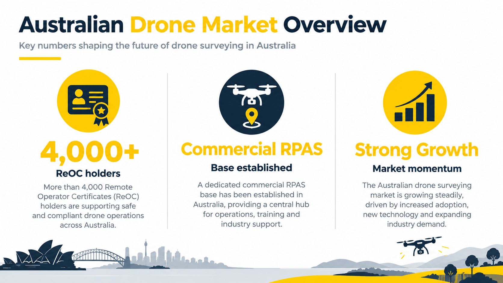
That conclusion is counterintuitive for newcomers. Australia already has a substantial commercial RPAS base, with 33,354 registered drones and almost 33,400 accredited operators reported by CASA in the same update, alongside RePL growth of more than 20% and ReOC growth of 10% over the preceding 12 months. CASA's conference update shows a market with established compliance structures, not an untested niche.
The practical question isn't whether a drone can capture aerial imagery. It can. The question is whether the business can plan lawful missions, collect defensible data, process it consistently and deliver outputs that engineers, builders, miners, land managers and government clients can use.
Table of Contents
- Understanding the Australian Drone Surveying Market
- Navigating CASA Licensing and Legal Requirements
- Building Your Operation Around ReOC Governance
- Selecting Equipment and Defining Service Offerings
- Focusing on Data Processing and Recurring Revenue
- Implementing Practical Operational Workflows
- Taking Your Next Steps with Professional Training
- Frequently asked questions
Understanding the Australian Drone Surveying Market
Australia doesn't need another general drone operator. It needs surveying businesses that can turn aerial capture into reliable spatial information.
Surveying and mapping were the top reported drone use case in an Australian drone industry report, with 83% of respondents using drones for that purpose. The same report found that drones can provide about 90% cost-per-hour savings compared with piloted aircraft for some jobs, while supporting fine measurement and high-volume aerial data capture. These figures come from the Australian Government's research into the benefits of increased drone uptake, but they don't mean every drone survey is automatically profitable. They mean the technology has a credible operational role.
A validated market changes the entry strategy
Industry research also found almost 35,000 distinct drone registrations, compared with just under 16,000 aircraft registrations, and reported that Remote Pilot Licences had doubled since 2018. Those figures reinforce a clear point: drone-enabled fieldwork is already normalised across Australian land management, construction and surveying.
That doesn't make the market easy. CASA's figures also indicate that thousands of licensed operators and compliant businesses already compete for work. A new firm can't rely on owning an aircraft as its differentiator. Buyers will compare accuracy, reporting, turnaround, safety documentation and consistency.
Practical rule: Treat the business as a compliance-led surveying service, not as a drone flying service.
Demand is strongest where the data supports a decision. Construction clients may need progress records and earthwork information. Mining clients may need volumetric surveys. Infrastructure owners may need condition records. Agricultural operators may need repeatable mapping. Each service has a different technical specification, but all require disciplined capture and quality assurance.
The Australian Government's research projected a 10% net productivity increase and a $460 million net boost to the economy in emergency services alone, supporting the broader view that drones are productivity tools rather than novelty aircraft. That research should inform positioning, but a founder still needs to validate local demand, client budgets and subcontracting opportunities before buying specialist equipment.
Navigating CASA Licensing and Legal Requirements
Your first legal decision is whether the proposed work qualifies as an excluded operation or requires a commercial operating structure. Treating those categories as interchangeable is a common cause of compliance failures.
CASA does not require a RePL or ReOC for excluded operations using drones weighing 2 kg or less, but the operator still needs accreditation, registration and compliance with the applicable safety rules. CASA excludes some business flights over 2 kg on the operator's own land when no payment is accepted, but that does not create a general exemption for paid surveying.
Excluded operations aren't a business model for client work
A business surveying its own land without accepting payment may fit an excluded category if it meets CASA's conditions. A business trading as a drone service provider follows a different pathway. CASA states that a ReOC is required to trade as a drone service provider and to employ pilots for broader commercial work.
For paid commercial drone work, register the aircraft and apply the ordinary drone safety rules. A drone weighing more than 25 kg requires approval to fly, according to CASA's commercial drone safety rules.
Use this planning table to test the proposed operation:
| Proposed activity | CASA planning implication |
|---|---|
| Small drone used within excluded conditions | Operator accreditation, registration and safety-rule compliance may apply |
| Paid surveying for a client | Registration and an appropriate commercial operating structure are required |
| Flying for a ReOC holder | The pilot needs a RePL under CASA's guidance |
| Drone over 2 kg | CASA says a RePL, ReOC and registration are required |
| Drone over 25 kg | An approval is required to fly |
CASA's Remote Pilot Licence guidance states that a RePL is needed to fly for a person or business holding a ReOC. It also states that drones over 2 kg require a RePL, ReOC and registration, while drones of 2 kg or less follow the lighter pathway only when the relevant conditions are met. Before planning paid surveying work, review the drone licence pathway to confirm which qualification your role requires.
For foundational commercial knowledge, ACE BRONZE is described as a foundation commercial drone course covering drone operations, flight safety, aviation theory and practical skills. Choose training after defining the operation, not before.
The economic advantage comes from repeatable data pipelines and compliance workflows, not aircraft ownership. If a client pays for surveying, plan for ReOC governance and appropriately licensed pilots unless CASA confirms that a specific excluded pathway applies.
Building Your Operation Around ReOC Governance
A credible drone surveying business starts with governance, then adds aircraft and sensors. ReOC documentation, procedures, pilot competency, maintenance records, insurance and operational controls should exist before the business promises repeatable commercial work.
The practical launch sequence is:
- Define the operation. Select the initial sectors, aircraft classes, operating locations and proposed survey outputs.
- Build the governance system. Prepare the manuals, standard operating procedures, risk controls, records and responsibilities required for the operation.
- Confirm pilot competency. Ensure every pilot holds the required RePL and understands the procedures used by the organisation.
- Add equipment against the workflow. Buy or hire aircraft and sensors that support the agreed survey specification.
- Test the complete process. Run controlled missions from client brief through to final report before accepting demanding projects.
Separate compliance from capture and processing
A professional operation should divide each job into three controlled phases.
Pre-flight compliance covers the site review, airspace assessment, permissions, risk assessment, weather, site access and aircraft readiness. Controlled airspace may require CASA notifications or approvals, depending on the operation. The responsible person should record the decision rather than relying on memory or a casual map check.
Data capture covers the mission plan, flight altitude, image overlap, ground control, battery management, observer roles and contingency actions. Survey firms commonly pair RTK photogrammetry or LiDAR with ground-control validation because survey-grade outputs depend on documented georeferencing and accuracy, not image volume alone. An Australian drone surveying workflow example illustrates this professional approach.
Post-processing QA/QC covers file integrity, coordinate systems, alignment, checkpoints, error review, visual inspection and client-ready reporting. The person who processes the dataset should have a defined checklist and authority to reject incomplete capture.
This governance mindset applies beyond aviation. Businesses developing broader compliance systems can use a guide to compliance for medical practices as a useful example of how documented responsibilities, controlled processes and review records support professional operations, even though the sectors differ.
For a detailed Australian regulatory reference, the ultimate guide to ReOC in Australia can help founders identify the governance questions that need answers before fieldwork begins.
Selecting Equipment and Defining Service Offerings
Equipment should be selected from the required deliverable backwards. Buying the most capable aircraft first is usually poor commercial judgement if the business hasn't defined accuracy, terrain, access, processing and reporting requirements.
RTK photogrammetry and LiDAR solve different problems
| Configuration | Strong fit | Main consideration |
|---|---|---|
| RTK photogrammetry | Open construction sites, earthworks, stockpiles and many mapping jobs | Requires careful image capture and ground-control validation |
| LiDAR | Vegetated terrain, complex surfaces and projects needing point-cloud information | Requires specialist processing and interpretation |
| Standard imaging platform | Visual records and lower-complexity inspections | May not support defensible survey-grade measurement |
RTK photogrammetry is often the sensible starting point for open sites where the ground is visible and the business can establish repeatable control and processing procedures. LiDAR becomes more attractive when vegetation, surface complexity or the required data product makes image-based reconstruction less suitable. Neither sensor removes the need for planning or quality checks.
The aircraft must also match the operating environment. Mine sites, construction zones and infrastructure corridors may require enterprise features, reliable communications, additional batteries, field support and documented maintenance. A smaller platform can be useful for access and mobilisation, but weight alone doesn't determine whether the resulting data is suitable for a survey deliverable.
Sell outputs rather than flight time
A focused starting menu could include:
- Construction mapping: Orthomosaics, surface models, progress records and earthwork information.
- Mining surveys: Stockpile and excavation data, subject to the client's required accuracy and coordinate framework.
- Infrastructure capture: Georeferenced visual records and inspection datasets.
- Agricultural mapping: Repeatable field imagery and spatial information for land-management decisions.
- Digital-twin inputs: Structured data that can feed a client's existing spatial or asset-management environment.
- Ongoing monitoring: Scheduled surveys that track change rather than producing a single isolated dataset.
The RPAS engineering program is relevant when the business needs deeper technical understanding of remotely piloted aircraft systems and their operational context. Training should support the service specification, not substitute for a clear specification.
A sensible founder starts with one or two use cases, documents the deliverable, tests the complete workflow and expands only when the existing service can be delivered reliably.
Focusing on Data Processing and Recurring Revenue
The aircraft is visible, so beginners tend to overinvest in it. The less visible processing pipeline is where a surveying business earns trust.
Independent Australian sector data places surveying and spatial services at about AUD 3.9 billion in FY2026, across 3,611 businesses employing around 16,500 people, according to the Australian surveying and spatial services sector analysis. That market context matters because it frames drone surveying as part of a professional spatial-services economy, not as a standalone gadget business.
Build a pipeline that another person can follow
A repeatable workflow should define:
- Project intake: Client purpose, site boundaries, coordinate reference system and required outputs.
- Mission design: Flight plan, overlap, altitude, control points, access and risk controls.
- Data handling: File naming, backups, metadata, transfer and retention.
- Processing: Photogrammetry or LiDAR reconstruction, classification, measurements and export.
- Quality review: Checkpoints, visual inspection, completeness and documented exceptions.
- Delivery: Report, map, model, data package and limitations explained in plain language.
That pipeline creates capacity. A founder can train another operator to capture data, subcontract specialist processing or review more projects without changing the client experience. It also limits rework, which is often more expensive than the flight itself.
A drone creates raw material. The business creates confidence by controlling what happens before and after the flight.
Recurring revenue should be designed into the offer. Construction clients may need progress information throughout a project. Infrastructure owners may need scheduled condition capture. Mines and agricultural businesses may need repeatable monitoring. These relationships are commercially stronger than a sequence of unrelated one-off jobs because the business can standardise capture dates, outputs, storage and reporting.
The service should state what repeats, what changes and what the client receives each cycle. “Drone survey” is vague. “Scheduled surface model and progress report using an agreed site boundary and coordinate framework” is a deliverable.
The drone quote calculator can support the commercial planning process, but pricing still needs to account for travel, access, preparation, capture, processing, QA/QC, insurance, equipment, subcontractors and revision requests. A low flight fee can conceal an unprofitable data-production burden.
Implementing Practical Operational Workflows
A builder requests a progress survey for an active site. The operator doesn't begin by unpacking the drone. The office first confirms the site boundary, required deliverables, access arrangements, safety requirements, coordinate system and deadline.
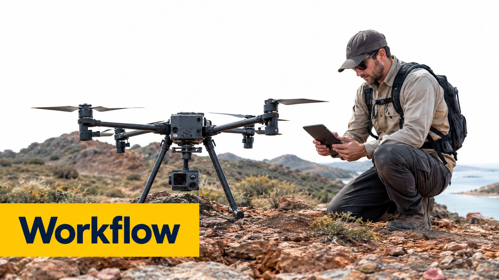
The responsible pilot checks the airspace and determines whether notifications or approvals are needed. The team reviews hazards such as mobile plant, cranes, power infrastructure, people, terrain and changing weather. The mission plan defines the capture area, altitude, overlap and control points before anyone arrives at the launch location.
On site, the pilot completes the briefing and pre-flight checks, confirms the work area and records deviations. If a crane enters the planned area or the site becomes unsuitable, the pilot pauses and revises the plan. A rushed flight isn't efficient if missing imagery forces a return visit.
After capture, the data moves through a controlled folder structure. Processing produces the agreed outputs, while QA/QC checks coverage, alignment, control and obvious errors. The client receives a clear package that identifies what was surveyed, what was delivered and any limitations.
For a business that also needs a visual explanation of its services, a highlight reel that earns inquiries can support marketing, but promotional footage must never replace evidence of technical capability. A client buying survey information needs sample outputs, method statements and dependable reporting.
Taking Your Next Steps with Professional Training
A founder should map training to the intended role. A pilot needs the appropriate RePL pathway and practical competence. Teams operating in relevant aviation environments may also need an Aeronautical Radio Operator Certificate. A business owner responsible for the operator may need deeper knowledge of ReOC governance, manuals and compliance controls.
The next steps are practical:
- Define the first survey service and aircraft category.
- Confirm the CASA pathway for paid work.
- Select RePL training that matches the intended operation.
- Add AROC training where aviation radio use requires it.
- Build or obtain ReOC governance before accepting broader commercial work.
- Practise the full capture, processing and QA/QC workflow.
The business operator course is relevant to founders who need to connect commercial planning with compliant drone operations. Certificate III in Aviation may also suit professionals seeking a broader aviation qualification, but the appropriate pathway depends on the person's role and objectives.
Ace Aviation Aerospace Academy provides CASA-compliant drone education, including Remote Pilot Licence training, Aeronautical Radio Operator Certificate pathways and ReOC consulting. Visit Ace Aviation Aerospace Academy to review training options before investing in equipment or accepting paid surveying work.
Frequently asked questions
Can a small drone surveying business operate without a ReOC?
Some excluded operations may not require a ReOC, subject to CASA's conditions. A business accepting payment as a drone service provider generally needs a ReOC and appropriately qualified pilots for broader commercial work.
Does every commercial drone pilot need a RePL?
CASA's requirements depend on the drone and operation. CASA states that pilots flying for a business holding a ReOC need a RePL, while drones over 2 kg require a RePL, ReOC and registration.
What should a new surveying business buy first?
The business should define its deliverables and compliance pathway first. Equipment should then be selected for the required accuracy, terrain, processing workflow and operating environment.
Is RTK photogrammetry enough for survey work?
RTK photogrammetry can support many mapping applications when the mission, georeferencing and ground-control validation are properly managed. The required method depends on the client's accuracy specification and site conditions.
How can a drone surveying business create recurring revenue?
Recurring revenue comes from repeatable outputs such as construction progress surveys, infrastructure monitoring, mining measurements and agricultural mapping. The offer should specify the schedule, data products, QA/QC process and reporting delivered each cycle.
